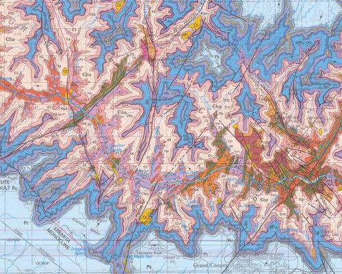

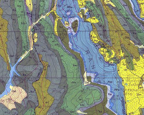

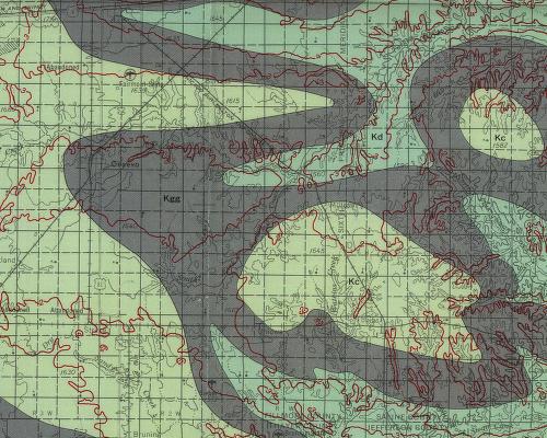
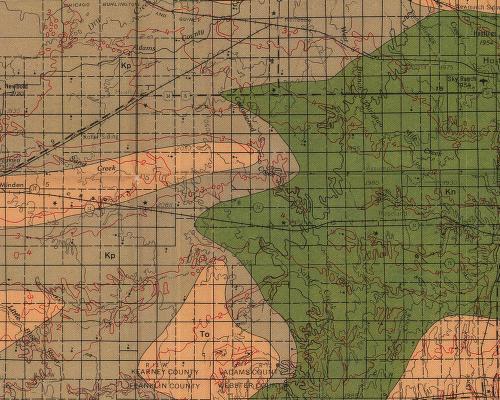

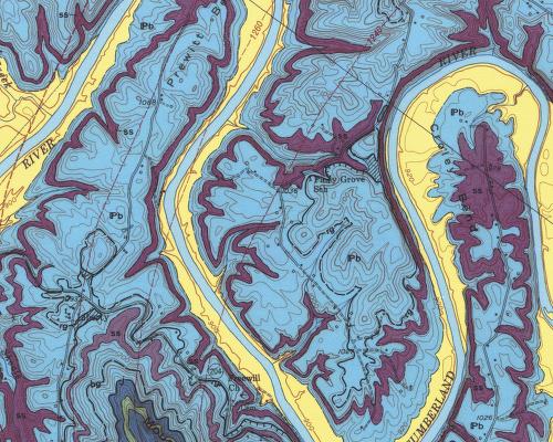
[Images: The sheer, extraordinary beauty of these maps is hardly even the start of one of the biggest time-traps I've ever found on the internet: the National Geologic Map Database of the United States Geological Survey. You can click through regions, or go state by state, and some of the most giddily unbelievable, breathtaking images I've ever seen can be zoomed-in on to a detail that nearly pixelizes it's so close. Preliminary bedrock topography! Interpretive geologic cross sections of Death Valley! The possible mythic overtones make the brain reel. Mapping time-dependent changes in soil-slip-debris-flow probability! What!? The vocabulary alone is worth the visit. Distribution of hydrogeologic units – just look at this map! And this one! Map fetish! It's the weird and wonderful world of abstract terrestrial science. Look at this one! And this one! In fact, just click on Kentucky and you'll go nuts].


[For other unforgettable maps, don't forget these].
No comments:
Post a Comment